

Delaware Water Gap & Kittatinny Trails Map **NEW**
Delaware Water Gap & Kittatinny Trails Map **NEW**
Couldn't load pickup availability
The revised 9th edition is now available!!
Delaware Water Gap & Kittatinny Trails Map
2026 - 9th edition
Four-map set, map #s 120, 121, 122 & 123
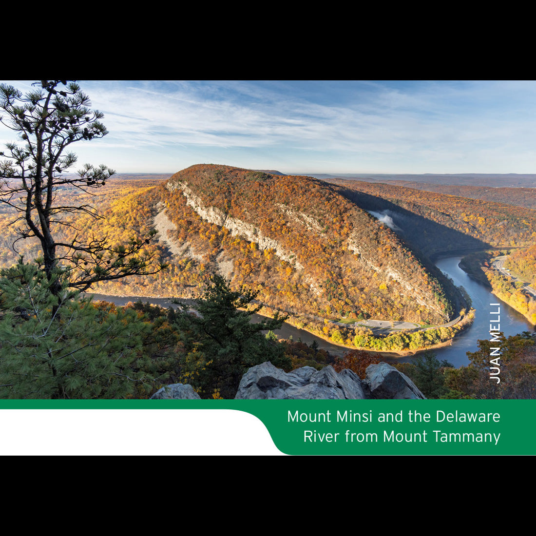
Our Delaware Water Gap & Kittatinny Trails map is a four-map set featuring trails along the Kittatinny Ridge and adjacent Delaware River through New Jersey, Pennsylvania, and New York. The maps are printed in vibrant color on waterproof and tear-resistant Tyvek, and are a must-have for exploring the vast parklands along the Kittatinny Ridge and adjacent section of the Delaware River.
Changes & Updates
The 2026 update includes new trails and several significant adjustments. The revised map includes:
- In Stokes State Forest, new trails and a major reblazing of many trails throughout the park.
- Trail relocations and new trails in several other parks.
- Parking access changes and improved identification of rough dirt roads in Delaware Water Gap National Recreation Area and other parklands.
- Viewpoint adjustments along the Appalachian Trail and several other trails.
- Updated Delaware River campsite numbers and camping information.
- Redrawn trail lines in areas that are based on more recent, more accurate GPS data.
- Newly protected lands, including recent acquisitions by the Ridge and Valley Conservancy, The Land Conservancy of New Jersey, the Greater Culver Lake Watershed Conservation Foundation, and other organizations.
Map Features
- More than 325 miles of marked trails in portions of New Jersey (Sussex and Warren counties), Pennsylvania (Monroe, Northampton, and Pike counties), and New York (Orange County)
- Parklands including the Delaware Water Gap National Recreation Area, High Point State Park, Stokes State Forest, Worthington State Forest, Port Jervis Watershed Park, and Huckleberry Ridge State Forest
- More than 50 miles of the Appalachian Trail as it traverses the Kittatinny Ridge
- Detailed junction-to-junction trail mileage numbers
- 20-foot elevation contours
- 1:36,000 scale (1 inch = 3,000 feet)
- Convenient map sizes to carry and use on the trail
- Complete trail index and guide to trail usage on map back
- Enlarged inset maps of many popular areas, including High Point Monument, Stony Lake, and the Delaware Water Gap
- Parkland boundaries
- Unmaintained trails and woods roads
- Viewpoints, campsites, shelters, waterfalls, mines, and other points of interest
- Parking areas
- Delaware River information such as river mileage, access points, rapids, and river campsites
- Park contact information, history, and regulations
- UTM coordinate grid with latitude/longitude markings
Note about Avenza Maps Availability
Thank You
Special thanks to volunteer project manager Dean Parmiter and all the volunteers and park partners who helped produce this map revision!
Experience You Can Trust
Trail Conference maps are built on more than 90 years of mapping experience. They are the trusted source for reliable trail information in the New York-New Jersey metropolitan region. These maps are "Made By the People Who Build the Trails" and are regularly updated with changes to the trails.
Share